


作品解説
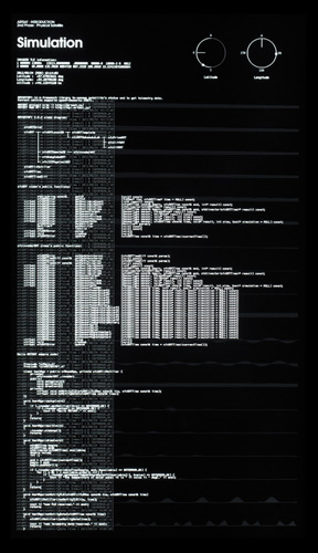
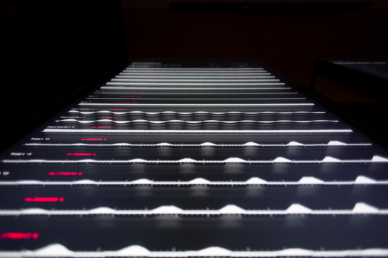
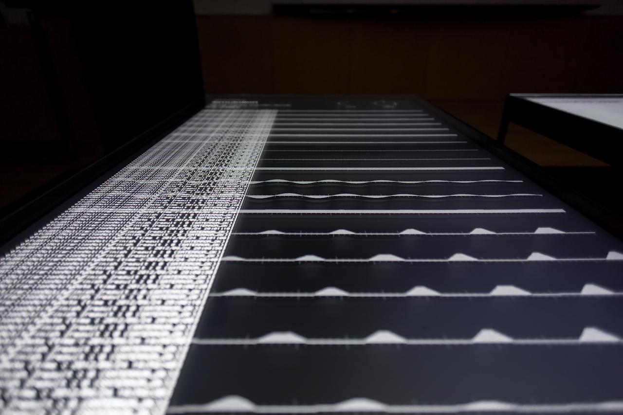
アメリカ合衆国のNORAD(North American Aerospace Defense Command, 北アメリカ航空宇宙防衛司令部)は定期的に、10cm以上の大きさの衛星の軌道をレーダーで測定し、軍事機密でないものは公開しています。NORADが公開しているデータのフォーマットは、TLE(Two Line Element, 2行軌道要素形式)と呼ばれている、衛星のケプラー軌道要素をテキスト形式で記述したフォーマットです。ここでは高度407km、軌道傾斜角65degを予定している軌道のTLEを仮定して、そこからINVADERの軌道や姿勢、センサーの状態をシミュレートしています。The North American Aerospace Defense Command (NORAD) regularly measures the orbits of satellites larger than 10cm, and publishes all data that are not treated as military classified information. Data published by NORAD are in the so-called TLE (Two Line Element) text format that describes the Keplerian Elements of satellites. Here INVADER's orbit, attitude and sensor status are simulated based on assumed TLE of the planned orbit at an altitude of 407km and an orbital inclination of 65 degrees.
写真をみる


ほかの作品を見る


